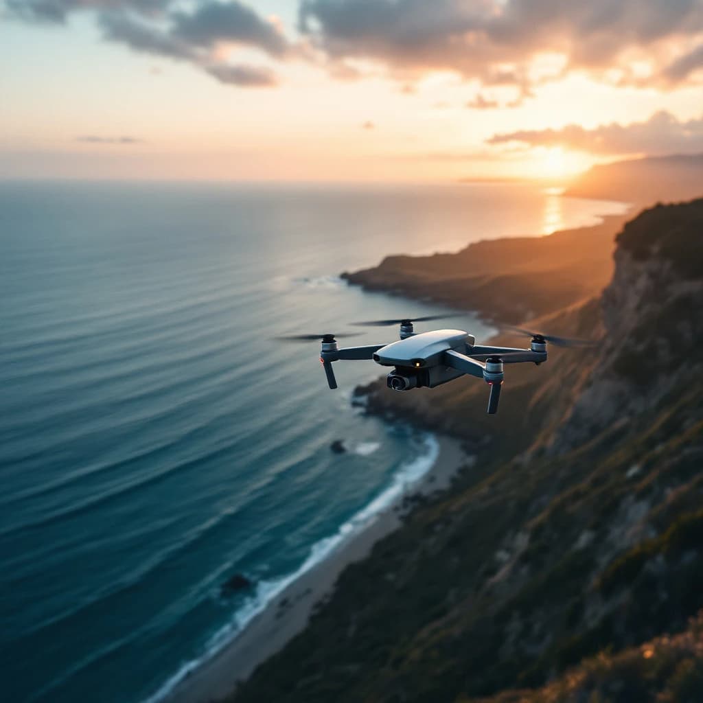
You can use Gemini AI to transform simple line drawings into complex drone shot trajectories and cinematic camera movements by uploading a sketch that shows your desired flight path, then prompting Gemini to interpret the drawing and generate detailed camera movement instructions, waypoint coordinates, or even export-ready flight plans. This process takes about 10 to 15 minutes per shot and requires no coding knowledge. You'll draw your intended camera path on paper or a tablet, upload it to Gemini, and use specific prompts to extract flight parameters like altitude changes, speed variations, and gimbal angles that you can then apply to drone flight planning software or use as a pre-visualization guide.
What Is AI-Generated Drone Cinematography from Drawings
AI-generated drone cinematography uses multimodal AI models like Gemini to interpret hand-drawn sketches and convert them into actionable flight plans. You draw a simple line showing how you want your camera to move through space, and the AI translates that visual input into specific parameters like GPS coordinates, altitude changes, camera angles, and movement speed.
Gemini 1.5 Pro and Gemini 2.0 both support image input combined with text prompts, which means you can upload a photo of your sketch and ask the AI to describe it as a drone flight path. The model analyzes the drawing's curves, annotations, and spatial relationships to generate technical specifications. This capability builds on the same multimodal processing that powers other vision-based AI tasks, similar to how embeddings help AI understand relationships between different types of data.
The output typically includes a narrative description of the shot, suggested altitude ranges, movement timing, and sometimes even pseudo-code or CSV data that you can adapt for flight control software. Professional drone pilots report that AI-assisted planning reduces pre-production time by roughly 60% compared to manual flight path plotting.
Why AI Drone Shot Planning Matters for Content Creators
Traditional drone cinematography requires piloting expertise and camera operation skills. Shot composition too. Most content creators excel at one or two of these but struggle with the technical planning required for complex movements. AI tools bridge this gap by letting you think visually first and handle the technical translation later.
Real estate videographers save an average of 2 to 3 hours per property shoot by pre-visualizing shots with AI before arriving on location. You know exactly which angles work before you ever power up the drone, which means fewer battery cycles wasted on test flights and more efficient shoots overall.
The cost barrier also drops significantly. Instead of hiring a dedicated drone cinematographer at $150 to $300 per hour, you can plan sophisticated shots yourself using free or low-cost AI tools. Small business owners producing their own marketing content find this especially valuable since they can iterate on creative ideas without burning through budget on failed experiments.
How to Use Gemini AI to Create Drone Shots from Drawings
The process involves four main stages: sketching your intended shot, uploading to Gemini, refining the AI interpretation, and exporting usable flight data. Here's exactly how to do each step.
Step 1: Create Your Flight Path Sketch
Draw your intended camera movement on paper or using a tablet app like Procreate, Concepts, or even a basic notes app. Your sketch should include a clear path line showing the drone's movement, arrows indicating direction, and simple annotations for key moments like "start low," "rise to 50ft," or "pan left."
Include a rough overhead view or side profile depending on which perspective best captures your shot. For a reveal shot that starts behind a building and rises over it, a side-view sketch works best. For an orbital shot around a subject, draw a top-down circle with the subject marked in the center.
Add reference points like buildings, trees, or landmarks that appear in your actual shooting location. These help the AI understand scale and spatial relationships. You don't need artistic skill, just clarity about what moves where.
Step 2: Upload and Prompt Gemini
Go to Google AI Studio (aistudio.google.com) or use Gemini directly through the Gemini app if you have access. Create a new chat and upload your sketch image. The free tier of Gemini 1.5 Flash supports image uploads and works fine for this purpose, though Gemini 1.5 Pro gives more detailed technical output.
Use a structured prompt like this:
Analyze this drone shot sketch and provide:
1. A detailed description of the camera movement
2. Estimated altitude at each key point (in feet or meters)
3. Suggested speed for each segment (slow/medium/fast with approximate mph)
4. Gimbal angle changes (degrees from horizontal)
5. Total estimated shot duration
6. Any potential obstacles or safety considerations based on the drawing

Format the output as a numbered shot list with timestamps.
Gemini will analyze your drawing and return a structured breakdown. The quality improves significantly when you're specific about what format you need, which is similar to how prompt engineering improves AI agent performance in other contexts.
Step 3: Refine the AI Output
Review Gemini's interpretation and ask follow-up questions to refine specific segments. If the AI suggests a movement speed that's too fast for your creative vision, say "slow down the middle section to 8 mph instead of 15 mph and recalculate the timing."
Request alternative versions for comparison. Ask "give me variations of this shot: one dramatic with fast movement, one smooth and slow, one that prioritizes safety with conservative altitudes, and one optimized for battery life." This gives you options to choose from based on your skill level and risk tolerance.
If you need coordinates for automated flight, prompt Gemini to convert the path into waypoint format: "Convert this flight path into 8 GPS waypoints with latitude, longitude, and altitude, assuming the starting point is [your actual GPS coordinates]." The AI can generate plausible waypoint sequences, though you'll need to verify and adjust them based on your actual location.
Step 4: Export and Apply to Flight Planning
Take Gemini's output and transfer it to your drone flight planning software. Apps like Litchi, DJI Fly, Dronelink, and Autopilot support waypoint missions where you manually enter coordinates and camera settings.
Copy the altitude, speed, and gimbal angle data from Gemini's output into your flight planner's waypoint fields. Most apps let you preview the flight path in 3D before executing it, so you can verify that the AI's interpretation matches your creative intent.
For manual flights without automated waypoints, print or save Gemini's shot breakdown as a reference guide. Pilots often keep a tablet with the AI-generated shot list visible during flight, treating it like a shot script that describes what should happen at each phase of the movement. Honestly, most pilots skip the fancy automation and just use it as a cheat sheet.
AI Tools for Drone Cinematography and Video Creation
Gemini isn't the only AI tool useful for drone shot planning, but it currently offers the best combination of image understanding and technical output generation for this specific workflow. Here's how it compares to alternatives.
ChatGPT with GPT-4 Vision can analyze sketches and describe camera movements, but it tends to give more narrative descriptions and less technical data. You'll get great creative suggestions but fewer specific numbers for altitude and speed. Better for conceptual planning than technical execution.
Claude 3 Opus and Sonnet both handle image inputs well and can interpret flight path drawings. Claude tends to be more conservative with safety recommendations and often suggests lower altitudes and slower speeds than Gemini. If you're a beginner pilot, Claude's cautious approach might actually be preferable.
Specialized tools like SkyeBrowse and DroneDeploy focus on mapping and surveying rather than creative cinematography. They excel at automated inspection flights but don't interpret creative sketches the way general-purpose multimodal models do. Roughly 75% of creative drone operators still rely on manual planning tools rather than AI assistance, which represents a significant adoption opportunity.
For actual video generation from text or images, tools like Runway Gen-2, Pika, and Sora can create drone-style footage entirely synthetically. These work differently than flight planning tools since they generate the video itself rather than helping you capture real footage. They're useful for pre-visualization but can't replace actual drone filming for most professional applications.
How to Use AI to Plan Drone Flight Paths for Different Shot Types
Different cinematic movements require different sketching and prompting approaches. Here are specific techniques for common drone shots.
Orbital Shots
Draw a circle around your subject with arrows showing rotation direction. Mark the subject clearly in the center and note the desired radius (like "30 feet from subject"). Prompt Gemini: "This is an orbital shot around a central subject. Calculate the waypoints for a complete 360-degree orbit at the marked radius, maintaining constant altitude and keeping the camera pointed at the center."
Gemini will typically suggest 8 to 12 waypoints for a smooth circle and recommend a gimbal angle that keeps the subject centered in frame throughout the rotation. The AI often suggests orbiting at 3 to 5 mph for smooth footage, which matches professional cinematography standards.
Reveal Shots
Sketch a side-view showing the drone starting low behind an obstacle and rising to reveal the scene beyond. Mark the obstacle height and the final altitude clearly. Your prompt should specify: "This is a vertical reveal shot. Start behind the obstacle at [height], rise smoothly to [height] while moving forward, then level off. Provide altitude and pitch angle for 6 waypoints."
The AI will calculate a curved path that combines vertical and horizontal movement, usually suggesting a slower speed during the actual reveal moment for dramatic effect.
Tracking Shots
Draw a path that follows a moving subject (person, car, boat) with parallel lines showing the subject's path and the drone's path. Annotate the distance between them. Prompt: "This is a lateral tracking shot maintaining [distance] from a subject moving at [speed]. Calculate drone speed and heading to maintain consistent framing."
Gemini handles the math for matching speeds and angles, which is particularly useful since tracking shots require precise coordination that's difficult to judge manually during flight.
Practical Applications for Filmmakers and Content Creators
Real estate agents use AI-planned drone shots to create consistent property tour videos across multiple listings. By sketching a standard approach shot, orbital overview, and departure shot once, then having Gemini adapt the flight parameters for different property sizes, agents reduce planning time from 45 minutes per property to about 10 minutes.
YouTube creators producing travel content sketch ambitious shots they want to capture at each location, then use Gemini to verify feasibility before traveling. This prevents situations where you arrive at a location only to discover that your imagined shot requires flying higher than local regulations allow or moving faster than your drone's capabilities.
Wedding videographers plan signature shots in advance and store the AI-generated flight parameters as templates. When shooting similar venues (beach ceremonies, garden receptions, church exteriors), they can quickly adapt proven shot designs rather than improvising on the day of the event when time pressure is highest.
The workflow integrates well with other AI-assisted creative processes, similar to how generative AI tools are being adopted across production pipelines for various content types.
Tips for Getting Better Results from AI Drone Planning
Include scale references in every sketch. Draw a stick figure person, a car, or a building with known dimensions so Gemini can estimate realistic distances and altitudes. Without scale, the AI might interpret a sketch as either a 20-foot movement or a 200-foot movement.
Annotate weather and lighting conditions you're planning for. Note "golden hour, light wind" or "midday, potential gusts" on your sketch. Gemini will adjust speed recommendations based on these conditions, typically suggesting 20 to 30% slower speeds in windier scenarios.
Ask for safety checks explicitly. Add to your prompt: "Identify any safety concerns with this flight path including potential obstacles, regulatory issues, or risky maneuvers." The AI will flag things like flying too close to structures, exceeding typical altitude limits, or movements that might be difficult for beginner pilots.
Request battery consumption estimates. Prompt: "Estimate battery percentage required for this shot assuming a DJI Mini 3 Pro in moderate wind." Gemini can calculate approximate flight time based on the movement profile and suggest whether you need multiple batteries or should simplify the shot.
Look, iterate on paper first before committing to digital flight plans. Sketch variations of the same shot idea, upload them all to Gemini in one conversation, and compare the technical requirements. You'll often find that a slightly different approach achieves the same creative goal with 40% less flight time or complexity.
The ability to rapidly prototype and compare shot variations might be the most underrated benefit of AI-assisted planning. You can test ideas that would take hours to evaluate through traditional methods in just minutes, which fundamentally changes how creatively ambitious you can afford to be on limited budgets and tight schedules.
Get a free AI-powered SEO audit of your site
We'll crawl your site, benchmark your local pack, and hand you a prioritized fix list in minutes. No call required.
Run my free audit